Posts

Showing posts from July, 2018

Hillshade in QGIS (Analytical , Combined and Multi Directional Hillshad...

Image
How to make hillshade map from DEM using various algorithms like analytical hillshade, combined hillshade, or multi directional (mdow) hillshade.  

Data Digital Elevation Model Nasional (DEMNAS) dan Batimetri Nasional dirilis

Image
Pemerintah Republik Indonesia melalui Badan Informasi Geospasial (BIG) saat ini telah menyelesaikan dan merilis produk data Digital Elevation Model (DEM) nasional untuk seluruh wilayah Indonesia pada resolusi 0.27 arcsecond. Data dapat diunduh dari LINK ini. Data ini akan sangat bermanfaat untuk akselerasi kegiatan pemetaan dan peningkatan kualitas dan kuantitas output pemetaan di Indonesia, sekaligus mengurangi gap dan inkonsistensi berbagai data spasial yang sudah dan akan dihasilkan di masa depan (baik tematik maupun geometrik) satu langkah besar menuju Indonesia Maju 2045.
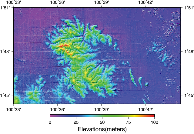
How to make DTM from DSM DEM Processing in QGIS Tutorial

Image
how to make DTM (digital terrain model) from DSM (digital surface model) in QGIS Tutorial. This tutorial is using QGIS Version 3.2 Bonn. Check this out  

Satellite Imagery Orthorectification using DEM in ArcGIS Tutorial

Image
How to perform orthorectification in ArcGIS using DEM and imagery metadata

Time Travel Mapping Over Terrain Using Tobler Hiking Function and ArcGIS

Image
How to perform time travel mapping, tutorial in ArcGIS and Spatial Analyst Tool. wish it useful for you guys