Posts

Showing posts with the label basemap. tiles

Serverless Raster or Imagery Tile Serving using PMTiles

Image
A few months ago, I created a video tutorial about how to serve raster or imagery tiles using Github  using TMS/XYZ Tile Serving protocol. The tiles can be consumed by a web gis app either as a base  map or operational layer. Although the workflow is proven to be working for general cases, the tiles  displaying and loading speed are quite mediocre compared to API-based serving such as WMS,  WMTS, or ArcGIS Services.  Now, there is one protocol called PMTiles that can also provide similar functionality with additional  features and better loading/displaying performance. PMTiles in many ways is similar to Mapbox  MBTiles format (the tiles are packed into a single file), or ArcGIS's TPK Package. However, PMTiles  can be served directly using a common HTTP query (not like MBtiles or TPK which must be deployed into API Services to be able to be consumed by a webgis client). So, if you want to use Github as your host, you won't find an uploading problem...

ArcGIS Online Basemaps Styles Customization Using ArcGIS Vector Tile Editor

Image
How to customize the ArcGIS basemaps styles, symbols, color, and other visualization properties using ArcGIS Vector Tile Editor. Customization result can be used in across of ArcGIS Family software such as ArcGIS Enterprise, ArcGIS Pro, even in QGIS and Geoserver. 

Generate Single Mosaic Raster/Map from Map Tiles (Basemap Series Part 6)

Image
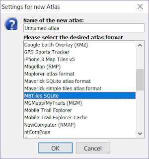
This post is designed as continuation from previous Post .  Now if you understand from my previous blog posts, many online map providers publish their online maps as tiled raster/vector map. There also many geospatial data format has been developed to store these tiles. One of them is MBTILES Format. MBTILES stores all tiles into one packed file grouped into its respective zoom levels. Because the tiles structure inside the MBTILES has been standardized, mosaicking those tiles into one single raster dataset is pretty much possible. There are plenty ways to do the mosaicking, one of them is utilizing MOBAC software. You can also use SasPlanet to do this. At my previous post, I show you how to make custom styles of Google Maps using snazzymaps, now I will continue to generate single raster maps of my Area of Interest from the custom google maps. Here is the workflow 1. From my previous post, the endpoint URL of my custom styled Google Maps is shown below. https://ma...

Modify Google Maps Vector Tiles and Open it in QGIS (Basemap Series Part 5)

Image
It is been a while since last time I discuss about vector tiles basemap. And today I found something cool that may be useful for you too. As you already know, Google nowadays is also publish it online maps to vector tiles format which make their maps more beauty as well as faster to load. And because vector tiles based online maps can be stylized in a custom way, there goes also the google maps vector tiles. You can modify how it looks to suit your application needs without spending additional money or resources. Now, lets go to how to do that. 1. First, go to application that enabling us to customize the Google Maps style using CSS.  https://snazzymaps.com is one example. You can explore styles made by other people or make a new style for yourself if you have enough knowledge about CSS. 2. After you find certain style that you are interested in, go to inspect element (chrome) or Firebird (Firefox) and find out the URL for a tile image. Below is an example. https:/...

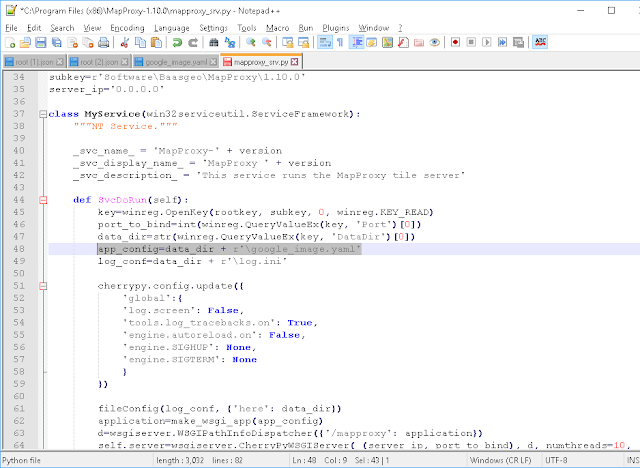
Using Mapproxy to cache and host both online and offline basemaps (Basemap series Part 5)

Image
Here we go again In this post now I will continue about how to simultaneous host and cache basemaps, either from online or offline sources. First, If you want to just use online basemaps to be available or hosted on your favorite protocols (like serving google Street Map to WMS or ArcGIS REST service) you could use Portable Basemap Server. I have previously covered it, check this LINK . If you want to only cache the tiles to be used for offline needs, you can use MOBAC or SasPlanet . Now if you want to have capabilities like both serving basemaps directly to your user using client server services protocols (either online or local online or even pure offline situation) while maintain online access, plus adding caching capabilities (useful if you want your application to be as fast as possible), you can use MAPPROXY . It can do what PBS can do plus it has caching ability, so you wont have to worry if your internet networks get troubled, because the generated caches will serve a...