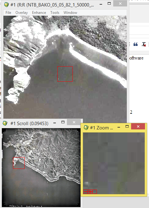
Manual RPC or Internal/External Orientation for Satellite Imagery Orthorectification in ENVI Software

When building RPCs for digital camera aerial photography and pushbroom sensor imagery, you will need to enter various required parameters such as principal points , focal lengths and pixel sizes , and incidence angles . This section provides guidelines on determining these values. Principal Point Coordinates Principal point coordinates are often set to [0.0, 0.0], which assumes that the principal point is the center of the image for a frame central projection and the center of each scan line for a line central projection. A laboratory calibration report should provide the principal point coordinates. Focal Length and Pixel Size Focal length is the orthogonal distance from the perspective center to the image focal plane. Pixel sizes correspond to the CCD cells (detectors of the camera that captured the images). Typically, aerial digital cameras and satellite pushbroom sensors have square pixels, which means that the pixel size is the same in the x and y dimensions. F...